


Towards a EU Strategy for Coastal Mapping
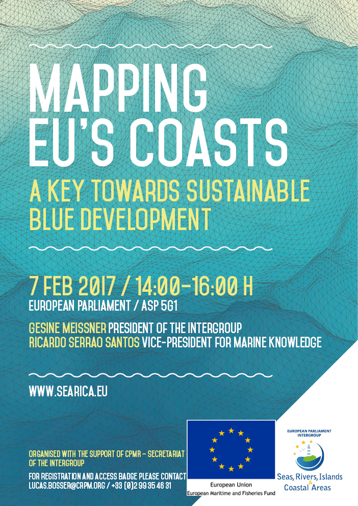 The Intergroup had the pleasure to welcome you at the occasion of its discussion on coastal data entitled "Mapping EU’s coasts: A key towards Sustainable Blue Development". It took place on 7 February 2016 from 14.00 to 16.00 in room A5G-1 of the European Parliament.
This event addressed the strategic importance of coastal bathymetric data to develop maritime activities in a sustainable way in Europe. It looked at what the EU can do to support the effort in terms of data collection and harmonisation.


Event Properties
| Event Date | 07-02-2017 14:00 |
| Event End Date | 07-02-2017 16:00 |
| Deadline to register | 02-02-2017 |
| Location | European Parliament Brussels |
| Categories | Conférence 2015-2019 |
| Attachment | 170207 AGENDA.pdf |
What is an Intergroup?
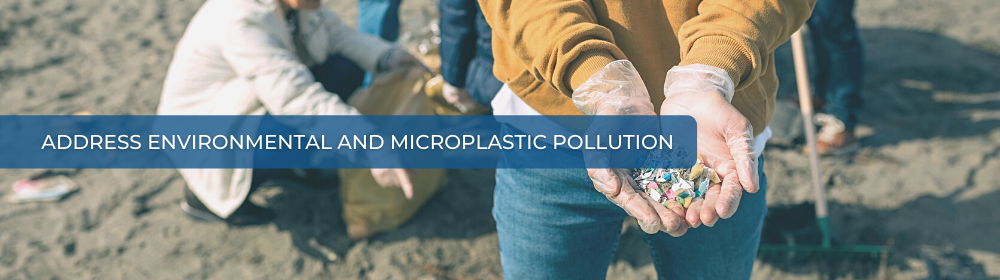
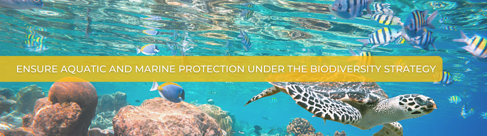
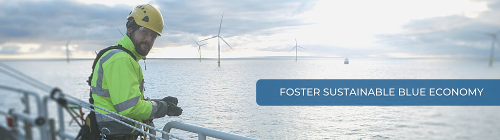
The Seas, Rivers, Islands and Coastal Areas Intergroup is one of the 28 Intergroups that were approved in December 2024 by the Conference of Presidents for the 10th legislature of the European Parliament. Intergroups can be formed by MEPs from any political group and any parliamentary committee with a view to holding informal exchanges of views on particular issues and promoting contact between MEPs and civil society.